Preserving Manchester's Heritage with Aerial Photography
Manchester is a city with a rich industrial past and diverse architectural heritage. With its historic buildings, bridges, and canals, it tells the story of the Industrial Revolution and the evolution of urban development. Preserving this history is vital to maintaining Manchester's identity. Aerial photography has become a key tool for documenting these historical sites, offering a bird's-eye view that captures details and perspectives that would otherwise go unnoticed.
The Role of Aerial Photography in Documenting History
Aerial photography allows us to capture a comprehensive view of Manchester's historical sites. Unlike ground-level images, aerial photographs provide a complete picture of an area, showcasing the layout and scale of buildings and landscapes. For heritage sites, this means being able to document everything from the positioning of structures to the intricate details of rooftops and façades.
By capturing these views,
aerial photography in Manchester helps preserve the memory of places that are central to the city's history. Iconic sites like industrial zones, railways, and warehouses can be documented extensively, helping future generations understand their significance.
Why Aerial Photography is Essential for Heritage Preservation in Manchester
Aerial photography is a powerful tool for preserving historical details. When capturing sites from above, we gain an understanding of their original layout and the relationship between structures. For instance, historic mills or factories may have a particular layout that reflects their industrial use, which can be best seen from an aerial perspective.
Furthermore, aerial photography is crucial for observing changes over time. Whether urban development is advancing in old industrial zones or restoration projects are underway in historic buildings, aerial images help track these developments. These insights are invaluable, ensuring that even if a site changes or disappears, a record of its existence and appearance remains.
Examples of Historical Sites Captured Through Aerial Photography in Manchester
Manchester is home to numerous historic sites that have been beautifully documented through aerial photography. The city's Town Hall, a Victorian neo-Gothic masterpiece, is one example where aerial images reveal its full architectural grandeur. Similarly, Manchester's old industrial districts, with their rows of brick factories and cobbled streets, are best appreciated from the sky.
The canals that once powered the city's industry also tell a fascinating story. Aerial photographs of these waterways show how they weave through Manchester's urban landscape, highlighting the city's transformation from an industrial powerhouse to a modern metropolis.
How Aerial Photography is Used by Historians and Preservationists
For historians and preservationists, drone photography is an essential resource. It provides a complete visual record of historical sites, allowing experts to analyse structural details and layout patterns. This documentation is especially useful for restoration projects, providing a clear reference point for original designs.
Aerial images are also useful for educational purposes. They allow students, researchers, and the general public to explore Manchester's history from a new perspective, deepening their understanding of the city's heritage.
The Future of Heritage Preservation with Aerial Photography in Manchester
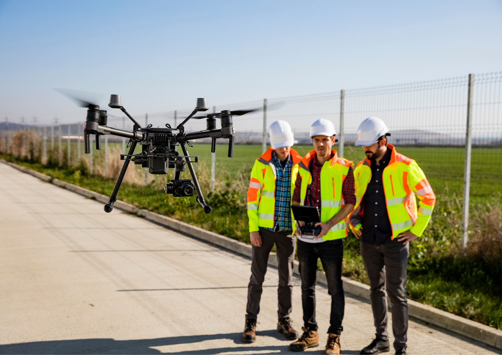
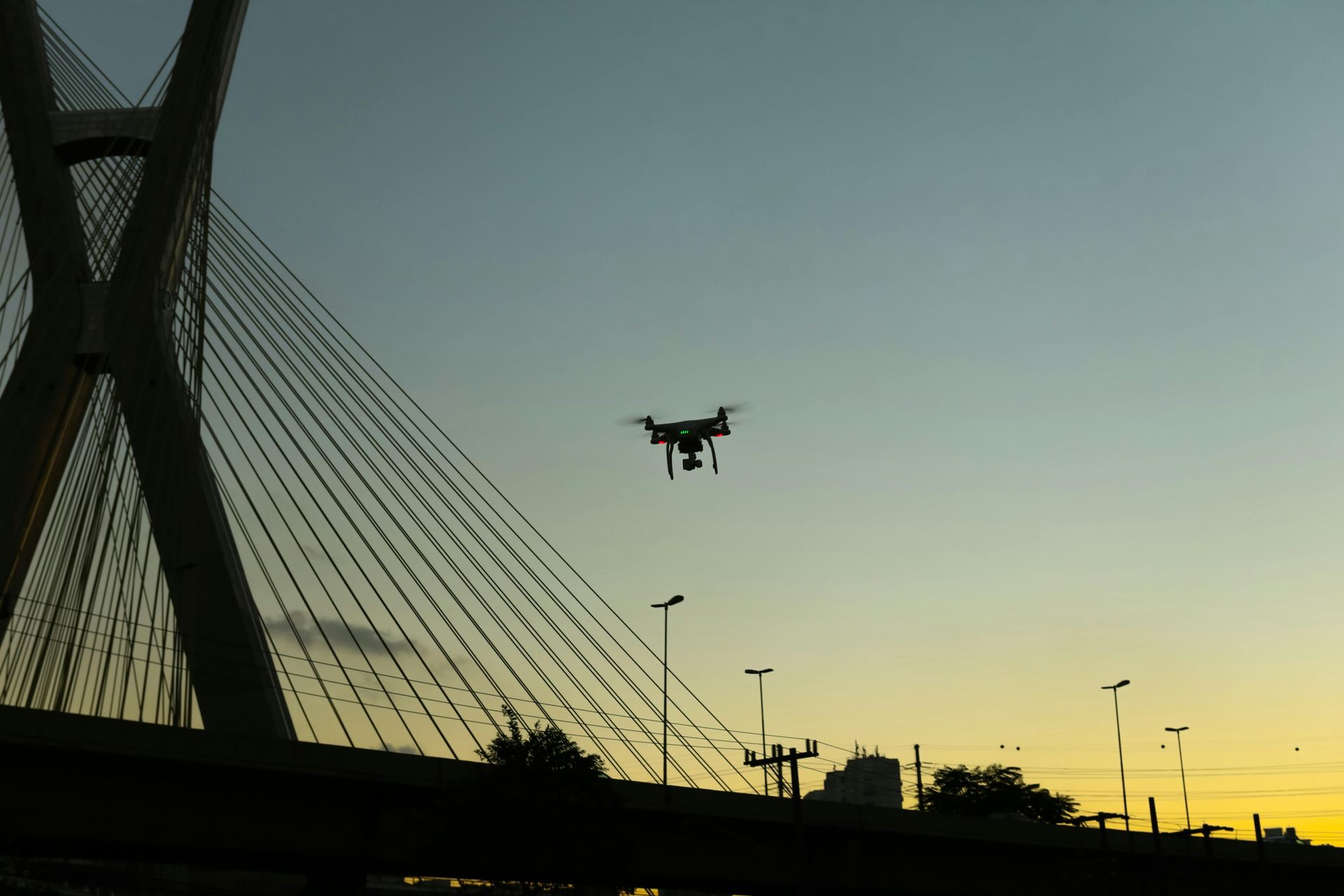
Advancements in aerial photography technology, particularly the use of drones, are expanding what's possible in heritage documentation. Drones allow for high-resolution images from various angles and heights, capturing details that traditional aerial methods might miss. As technology evolves, aerial photography will continue to play a crucial role in preserving Manchester's heritage, ensuring that even as the city grows, its history is not forgotten.
Aerial photography is a powerful tool for preserving Manchester's heritage. By capturing comprehensive views of historic sites, it helps document and protect the city's unique architectural legacy. Whether for personal interest or professional use, drone aerial photography is a valuable resource for anyone who wants to see Manchester from a new perspective.
Aerial Photography Manchester is committed to delivering high-quality images that capture the essence of Manchester's heritage. With expertise in heritage documentation, the company is equipped to handle projects of all sizes, from small historic sites to large industrial zones. We combine technical skills with a passion for preserving history, making us the top choice for drone photography in Manchester.
Check out our GBP update on preserving Manchester's heritage with
aerial photography.