Drone Mapping & 3D Modelling in Urban Planning & Construction
Drone mapping and 3D modelling have transformed urban planning and construction, offering precise aerial data for efficient decision-making. Professionals can create detailed topographic maps, 3D models, and accurate site surveys using drones equipped with high-resolution cameras and advanced software. This technology enhances project planning, reduces costs, and improves overall efficiency.
How Drone Mapping Works
Drones use GPS technology, high-resolution cameras, and LiDAR sensors to capture aerial imagery. These images are processed using specialised software to create accurate maps and 3D models. Compared to traditional surveying, drones:
- Cover large areas quickly, reducing project timelines.
- Minimise human error and improve accuracy.
- Lower labour costs by automating data collection.
Applications in Urban Planning
Urban planners rely on drone mapping to design and manage city landscapes efficiently. Drones help in analysing land use, traffic patterns, and environmental changes. With detailed 3D models, planners can:
- Visualise infrastructure projects before construction begins.
- Improve accuracy in zoning and development plans.
- Monitor environmental impact and land use changes.
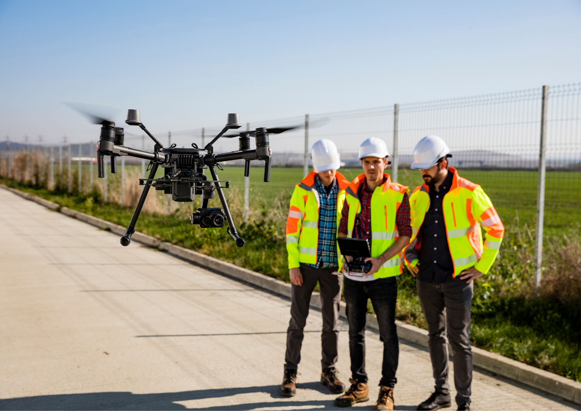
Applications in Construction
Construction companies use drone mapping for site surveys, progress monitoring, and quality control. By creating 3D models of construction sites, project managers can track developments, identify issues early, and ensure compliance with safety regulations. This technology:
- Reduces the risk of costly delays.
- Enhances productivity by providing real-time updates.
- Improves communication between stakeholders.

Benefits for the Real Estate Industry
The demand for real estate drone photography is growing as estate agents and developers use aerial images to showcase properties. High-quality drone footage provides a unique perspective, making listings more attractive and engaging. Developers also use drone data to plan large-scale projects with greater accuracy.
Choosing the Right Drone for Photography
For professional aerial photography, selecting the best drone for photography is essential. Factors such as camera resolution, flight stability, and battery life play a crucial role in capturing high-quality images and videos. Advanced drones with obstacle avoidance and intelligent flight modes are preferred for commercial use.
Where to Find Drone Photography Services
Searching for
drone photography near me helps businesses and individuals find professional services in their area. Hiring experienced drone operators ensures compliance with aviation regulations and guarantees high-quality results for commercial, industrial, and personal projects.
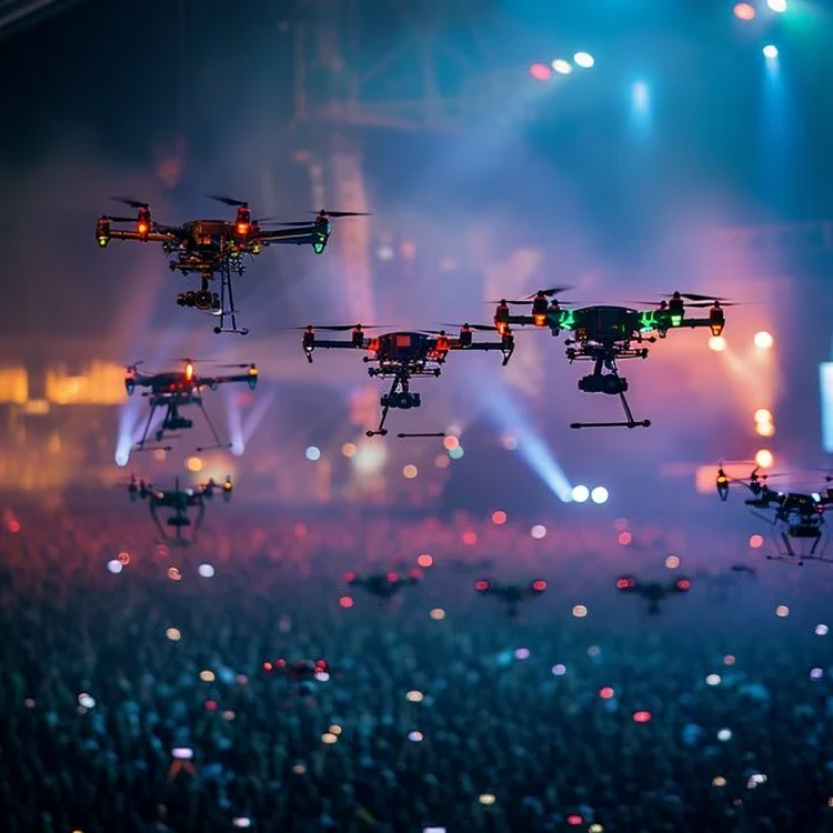
Drone Filming for Marketing and Entertainment
Drone filming has increased in industries such as tourism, media production, and advertising. Aerial footage provides dynamic visuals for promotional videos, enhancing marketing campaigns. Drones are also widely used in event coverage, capturing unique perspectives for social media and broadcast content.
Drone Inspections for Safety and Maintenance
Energy, construction, and telecommunications industries rely on
drone inspection services for safety assessments and maintenance checks. Drones reduce the need for manual inspections in hazardous areas, improving worker safety and operational efficiency. Their ability to access difficult locations makes them a valuable tool for infrastructure management.
Drone mapping and 3D modelling are revolutionising urban planning and construction, providing accurate data and improving project efficiency. From real estate marketing to infrastructure inspections, drones offer numerous benefits across various industries. As technology advances, their applications will continue to expand, shaping the future of modern development.
Aerial Photography Manchester specialises in high-quality drone mapping, 3D modelling, and aerial photography services. Our team uses cutting-edge drone technology to deliver precise and visually stunning results for construction, real estate, industrial inspections, and events. Whether you need drone filming, inspections, or aerial photography, we ensure professionalism, compliance with regulations, and top-tier service.
Check our latest X update about how
drone photography mapping and 3D modelling enhance urban planning and construction!