What to Expect from Real Estate Drone Photographers on the Day
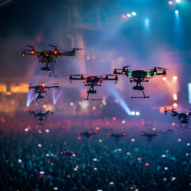
The use of aerial imagery in property marketing has seen a sharp rise over recent years. From estate agents and developers to marketing teams and councils, many now turn to drone services to capture unique, professional views of properties from above. If you're planning to book a
real estate drone photographer, here's a clear breakdown of what to expect on the day — and how to get the most out of your session.
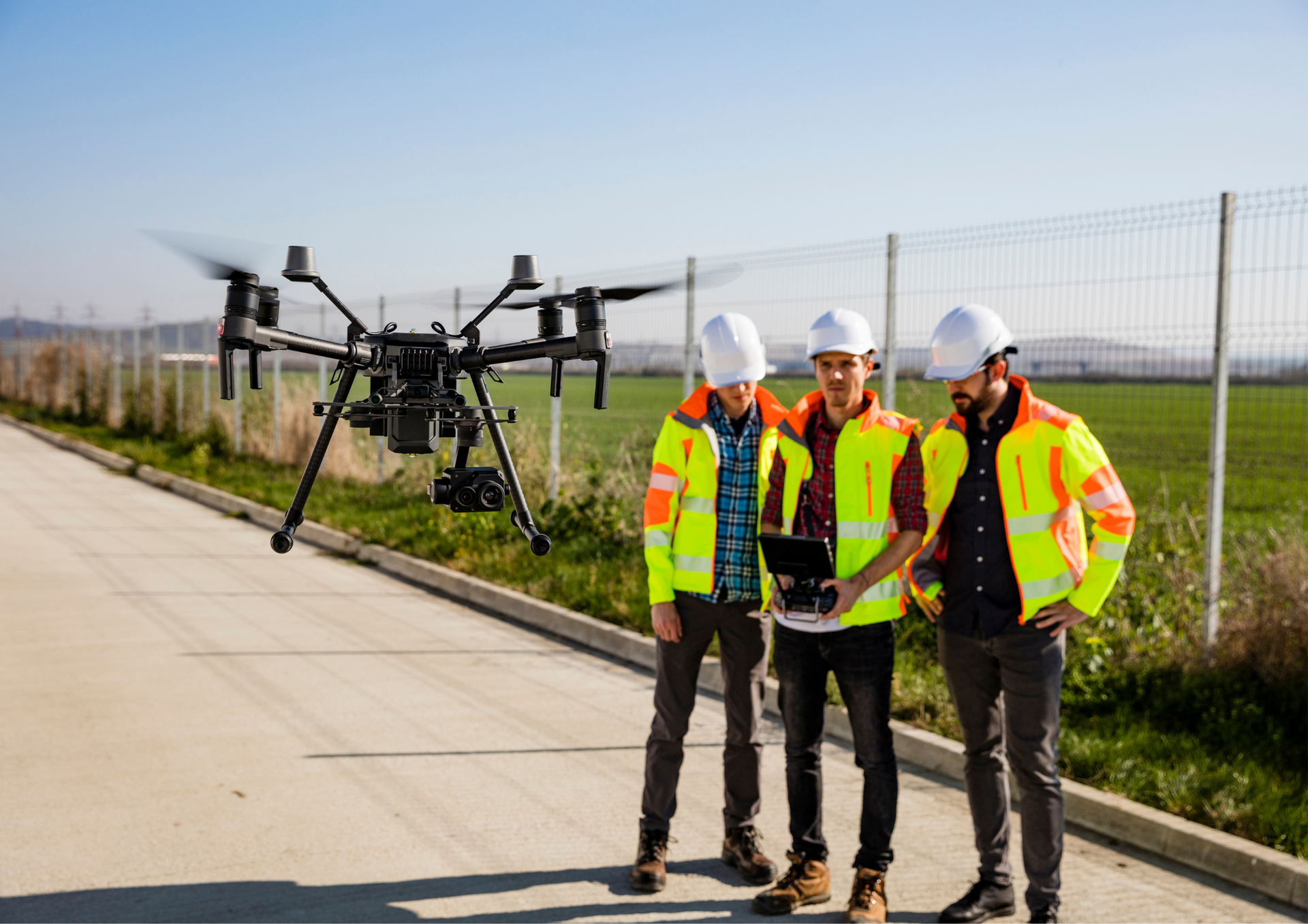
What a Real Estate Drone Photographer Does
A professional drone photographer provides aerial imagery services specifically designed for properties. This can include high-resolution images, cinematic videos, or 360-degree virtual fly-throughs. The service is ideal for residential listings, commercial buildings, construction progress reports, and even tourism campaigns. A trusted provider will always follow UK Civil Aviation Authority (CAA) guidelines and hold valid insurance.
On the Day: What to Expect
A typical real estate drone photography starts with a safety check and flight plan review. The photographer will walk through the property to identify the best angles and determine launch zones. Most shoots take 30 minutes to an hour, depending on the size and complexity of the location. Expect a variety of shots — including overhead views, sweeping approach shots, and wide panoramic scenes — designed to showcase the property in the best possible light.
Editing and Final Delivery
Once the shoot is complete, the footage goes through a post-production process. This includes colour correction, stabilisation, and optional branding overlays. Final materials are usually delivered digitally within 48–72 hours, and you’ll receive files in formats suitable for websites, social media, or property portals.
Understanding Drone Photography Rates
When it comes to
drone photography rates, prices vary depending on flight time, editing needs, and the location’s complexity. Some providers charge hourly, while others offer fixed packages based on the number of images or length of footage required. Be sure to clarify what’s included before booking.
The Power of Drone Property Photography
One of the biggest advantages of drone property photography is perspective. Aerial shots can highlight land boundaries, showcase nearby landmarks, or provide a better understanding of a building's scale and surroundings — all of which help prospective buyers or tenants make quicker, more confident decisions.
Making an Impact with Drone House Photography
If you're selling a residential property, real estate drone photography can significantly improve listing performance. A well-shot aerial image grabs attention, builds credibility, and gives a more complete view of the home’s exterior, garden, and neighbourhood setting. It adds a professional edge that helps your property stand out in a crowded market.
Why Residential Aerial Photography Matters
Residential aerial photography is particularly valuable in suburban or rural areas, where larger plots, gardens, or scenic views are key selling points. These images provide visual context that standard ground-level photography often can’t capture — making your property more appealing to potential buyers.
Real Estate Drone Photography Pricing at a Glance
While every project is different, real estate drone photography pricing is typically influenced by flight time, number of deliverables, editing requirements, and any needed permissions. Ask for a tailored quote to ensure you're getting value for your specific needs.
Booking a real estate drone photography session is a smart investment for anyone looking to elevate their property marketing. From preparation through to delivery, understanding what’s involved helps you get the most value from the service. Whether you're a homeowner, developer, or estate agent, professional aerial photography can set your listings apart and capture the attention they deserve.
At Aerial Photography Manchester, we pride ourselves on delivering high-quality aerial visuals that make a lasting impression. Whether you're marketing a new housing development, surveying agricultural land, or showcasing a city-centre office block, our experienced pilots and editors ensure every detail is handled with care.
We’re fully CAA licensed, insured, and familiar with UK drone regulations. Our team works across commercial, residential, industrial, tourism, and marketing sectors — always with a focus on safety, clarity, and visual impact.
Choose us for local knowledge, reliable service, and aerial photography that helps you achieve your goals.
Explore our latest post on X on what to expect on a real estate drone photography!