Aerial Photography for Environmental Monitoring
Environmental monitoring is essential for addressing issues like climate change, deforestation, and pollution. With the help of new technologies, such as aerial photography and drones, we can effectively study and protect the environment. These tools provide valuable information and help us reach areas that are hard to monitor, making it easier to keep track of our natural surroundings.
The Importance of Environmental Monitoring
Environmental monitoring helps us understand and mitigate the impact of human activity on ecosystems. By regularly observing changes in landscapes, air quality, water systems, and wildlife habitats, we can develop strategies to promote sustainability and prevent further environmental damage.
Traditional monitoring methods often require significant time and resources, limiting their effectiveness in large-scale projects. This is where
aerial photography excels, offering innovative solutions for environmental studies.
The Role of Aerial Photography in Environmental Monitoring
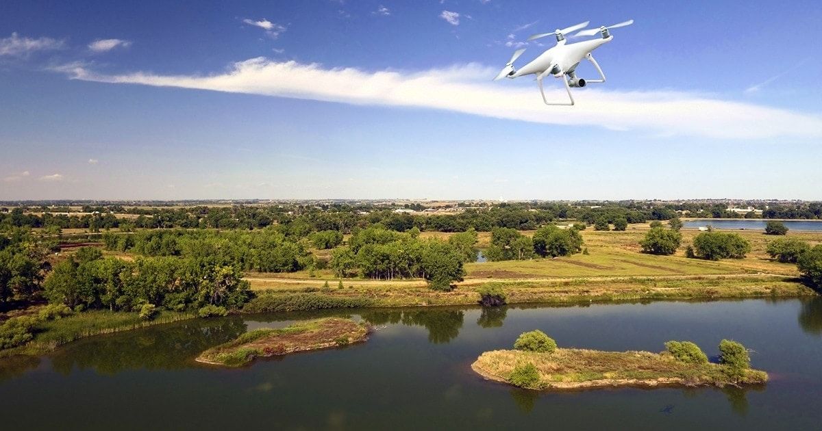
Aerial photography enables efficient data collection across vast and complex terrains. Using drones with high-resolution cameras, professionals can capture precise images of forests, rivers, coastlines, and urban developments. These images provide valuable data for environmental assessment, including:
- Deforestation Monitoring: Identifying areas affected by illegal logging and assessing reforestation efforts.
- Pollution Tracking: Locating and evaluating sources of water and air pollution.
- Wildlife Observation: Monitoring animal populations and migration patterns without disturbing their habitats.
- Urban Planning: Analysing land use and its impact on the surrounding environment.
Compared to ground-based methods, aerial photography offers unmatched coverage and clarity, allowing for quicker decision-making and more accurate results.
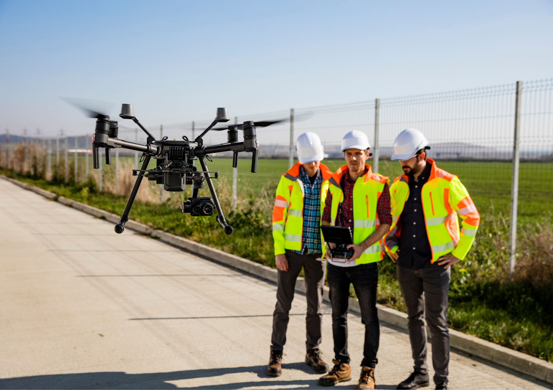
How Aerial Photography Works
Professional drone aerial photography for environmental monitoring involves three key stages:
- Flight Planning: Determining the area to be surveyed and planning the drone’s route.
- Image Capture: Using drones to collect high-resolution aerial imagery.
- Data Analysis: Processing and interpreting images using specialised software to extract useful information.
This streamlined process ensures efficient and reliable results, making aerial photography a cost-effective choice for environmental monitoring.
Why Choose Professional Aerial Photography Services
While drones and cameras are more accessible than ever, environmental monitoring demands expertise and precision. Professionals bring advanced equipment, in-depth knowledge, and the ability to interpret complex data. This ensures that the images collected provide actionable insights rather than raw data requiring further processing.
Drone photography has revolutionised environmental monitoring, offering unparalleled efficiency and accuracy. From tracking deforestation to observing wildlife, this technology enables us to better understand and protect the world around us. Whether you’re an environmental organisation, a researcher, or a business, aerial solutions can help you achieve your monitoring goals with ease.
At Aerial Photography Manchester, we specialise in delivering high-quality drone services tailored to environmental monitoring in Manchester. Our team combines expertise with state-of-the-art technology to provide accurate, reliable results for any project. Whether you need to monitor wildlife, assess environmental changes, or track pollution, we ensure every detail is captured with precision. Choose us for a professional, efficient, and dedicated drone photography service to making a positive impact.
Check our new GBP update about using
aerial photography for environmental monitoring.